After last week’s successful exploratory mission, I mapped out a longer route that connected up to Futurity from the south. More miles, more dirt roads, more climbing, more… fun? Yeah sure ya betcha.
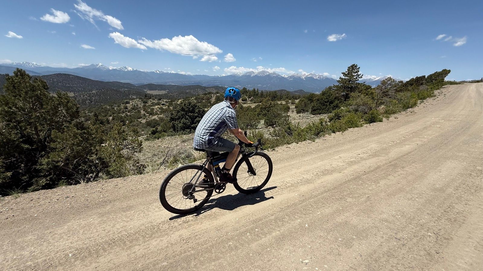
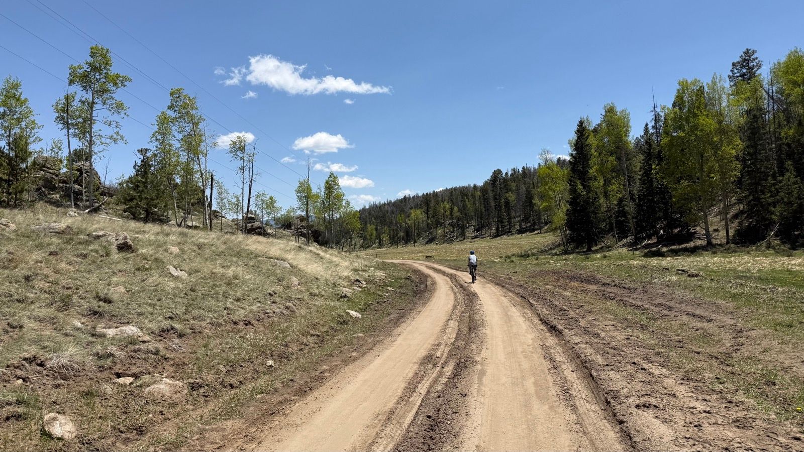
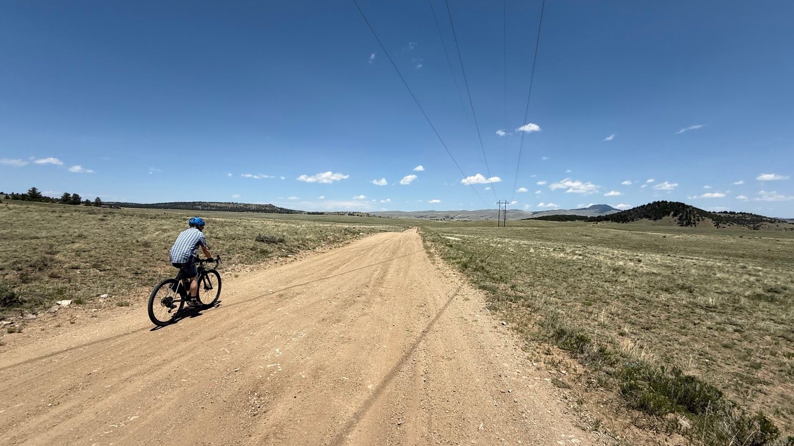
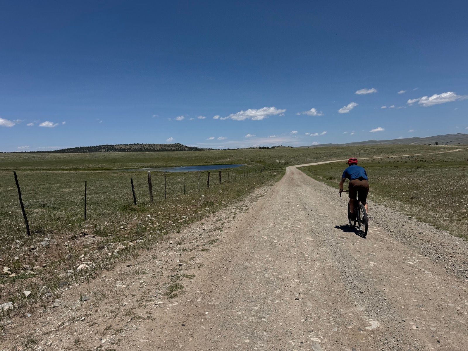
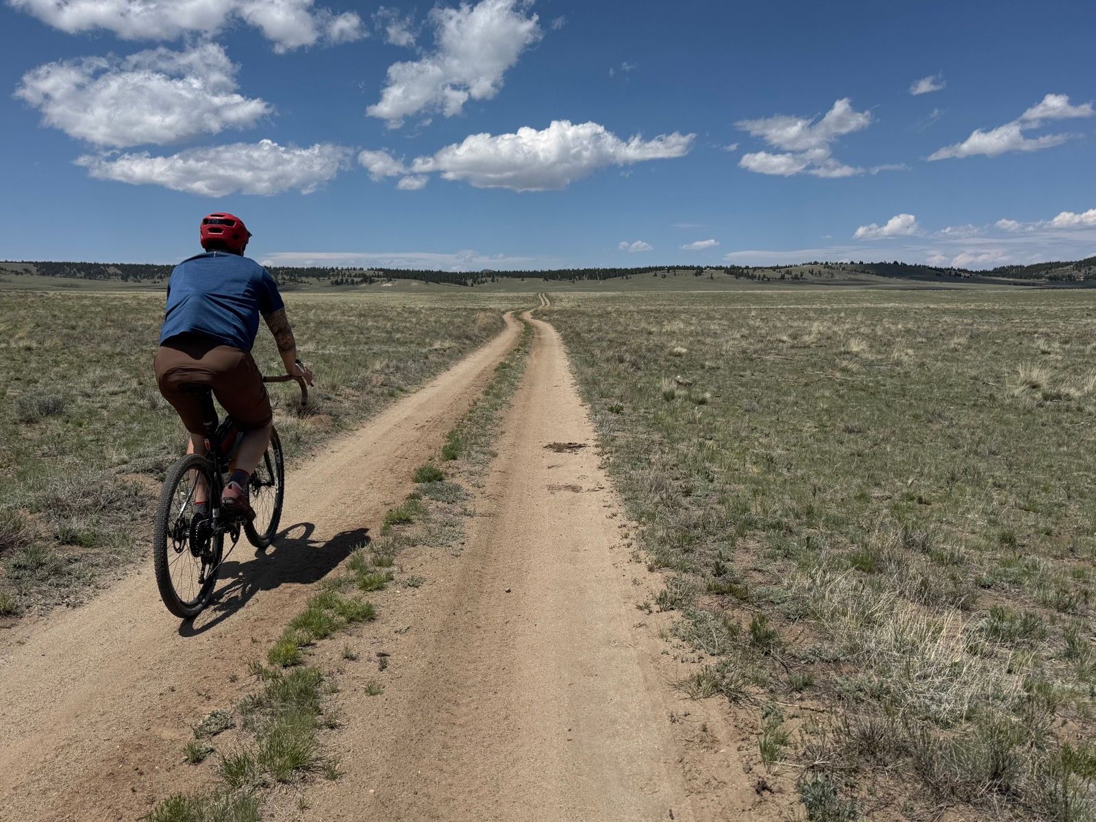
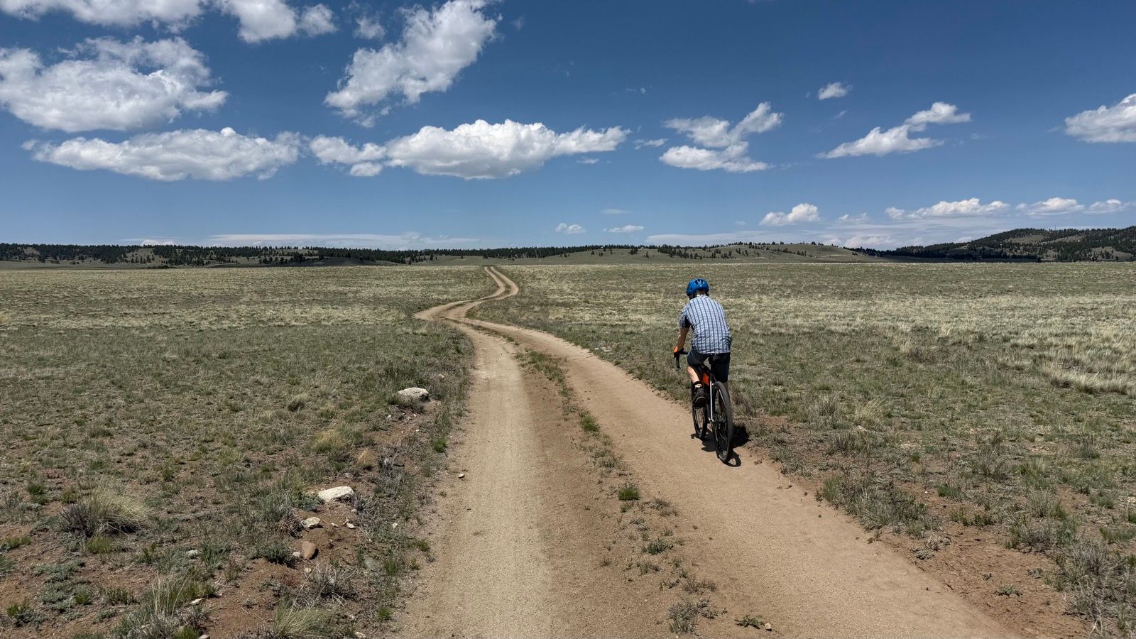
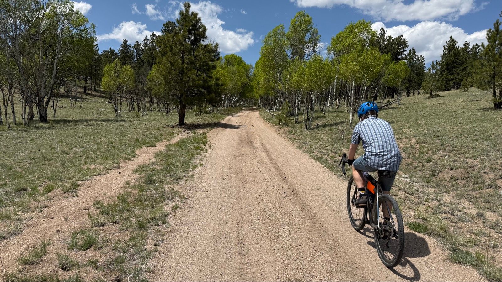
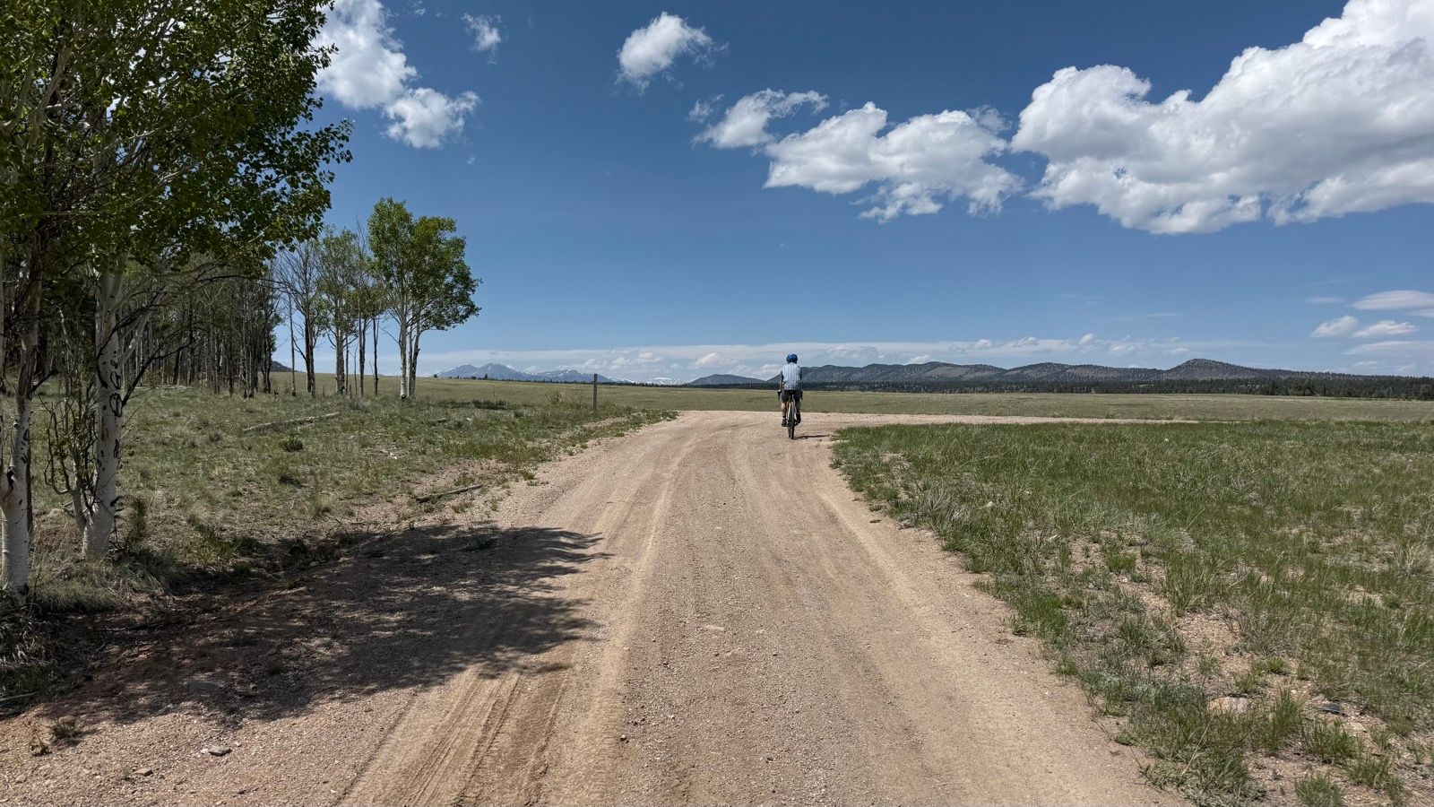
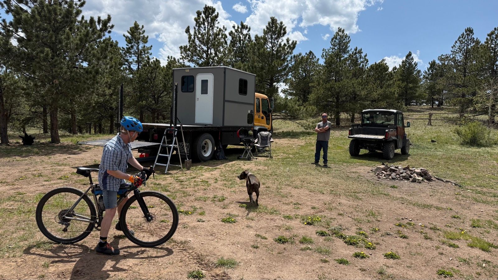
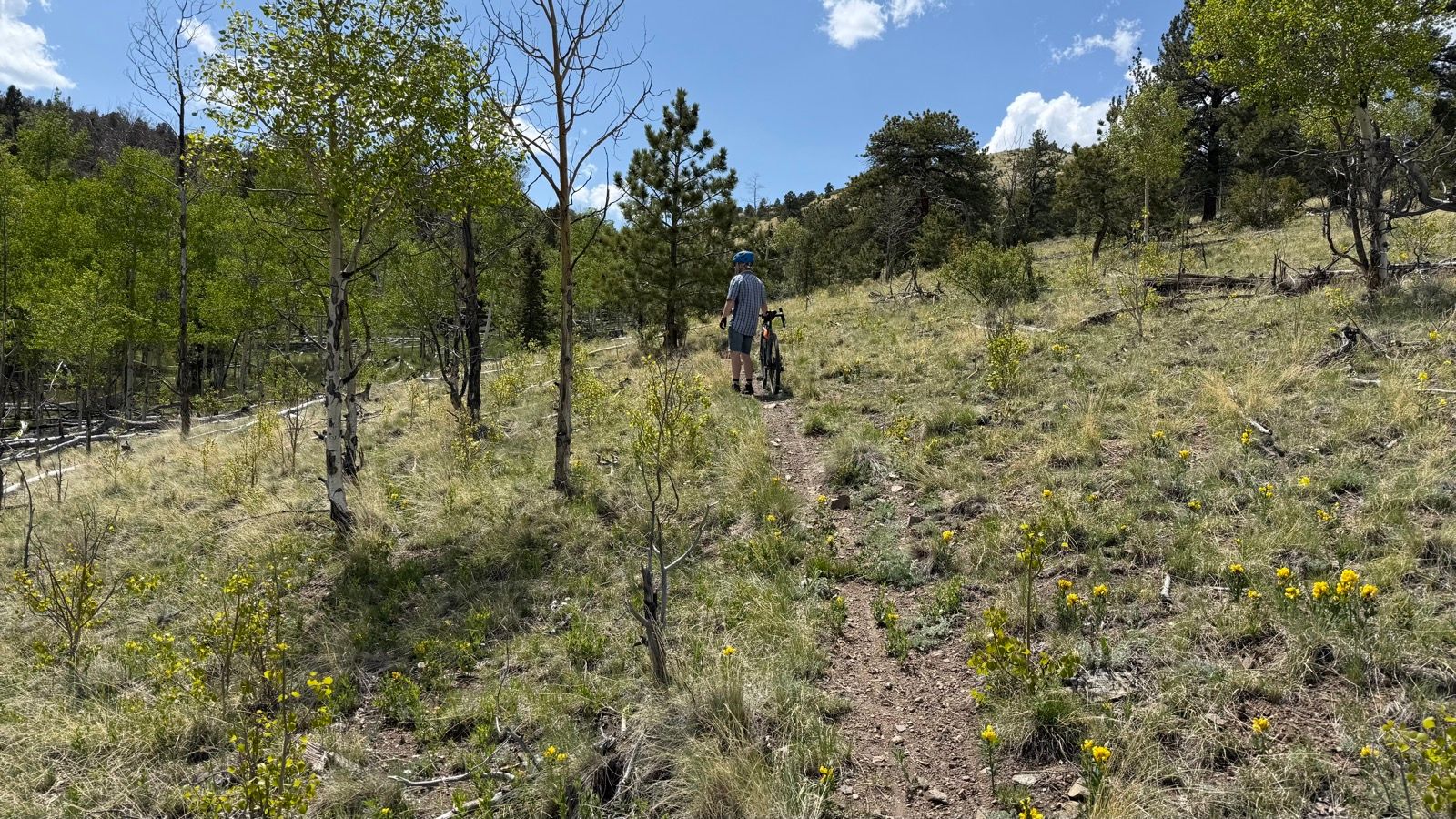
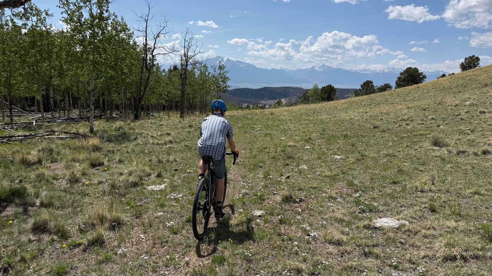
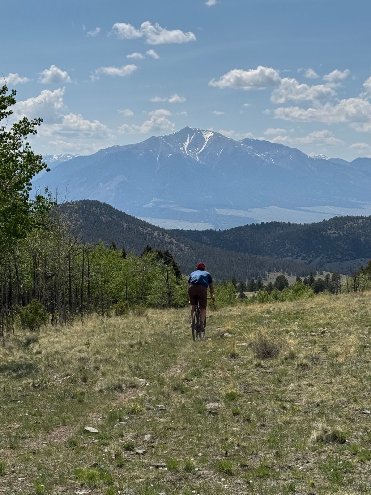
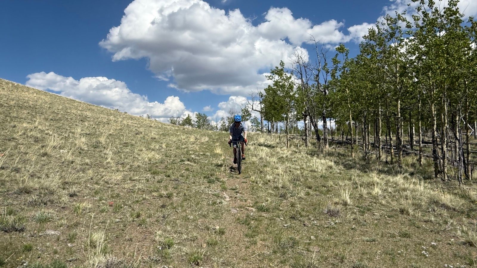
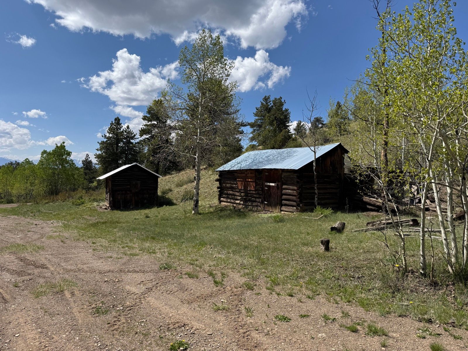
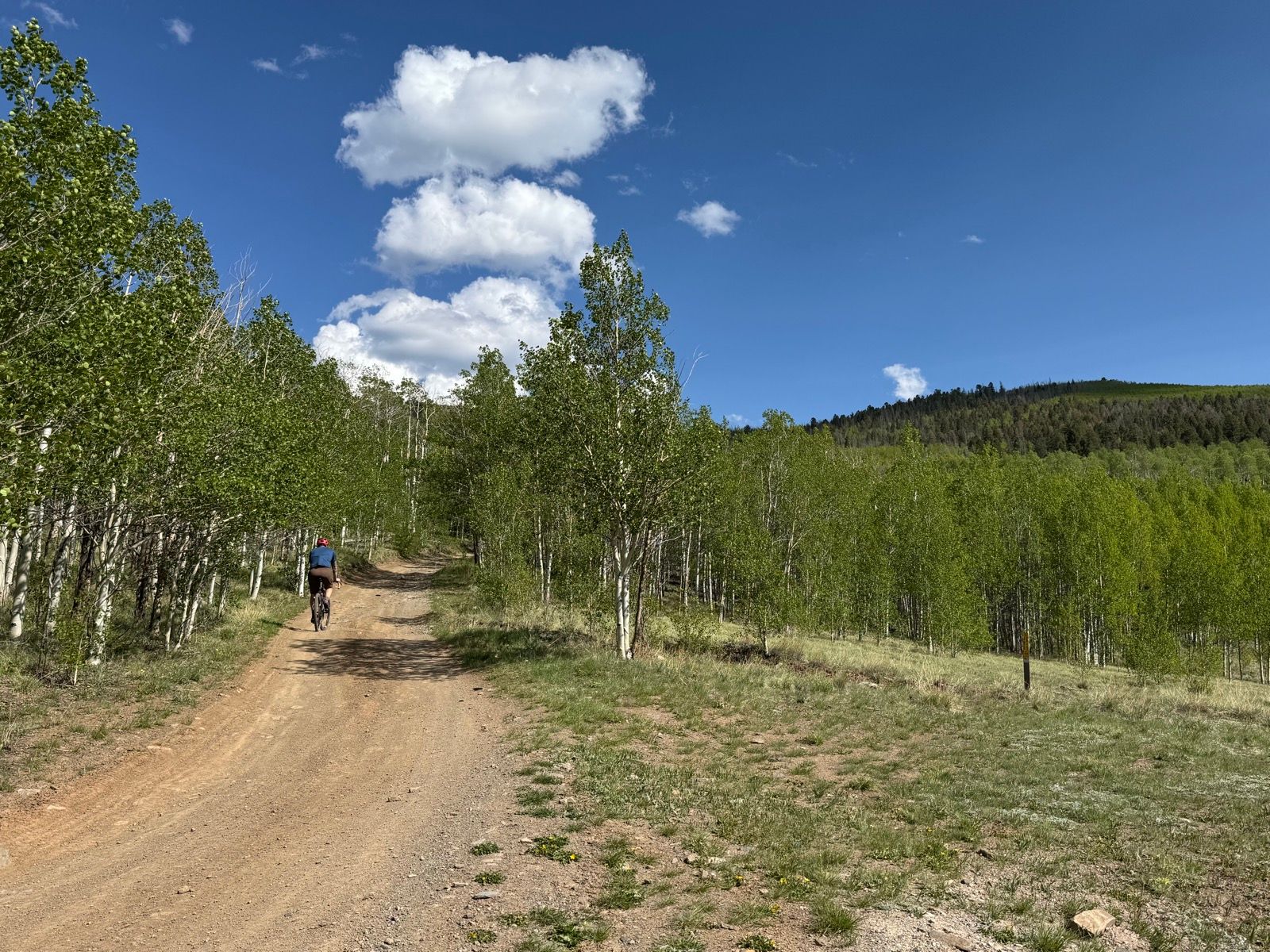
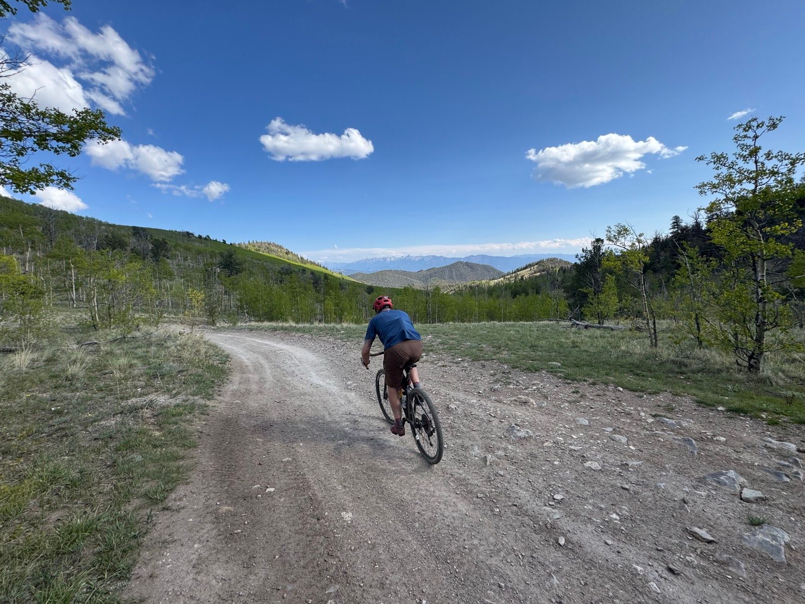
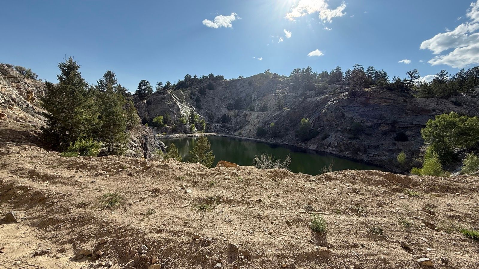
I was able to recruit a good friend who’s always down for an adventure, and was keen on exploring the area. Might end up more like exploding than exploring. Explording? Sounds about right. Anyways, let’s call him “Matt,” because that’s his name. Matt thinks jorts are appropriate cycling attire. Matt’s not wrong.After a healthy climb up well-maintained dirt roads, we dropped about 800′ of loose, rocky, rutted 4WD road into a stunning valley.The valley opened up to reveal wide open views and long, straight roads. Matt contemplates the answers to life, the universe, and everything. And also why there are power lines up here. The roads were in a little better shape through this section, but still plenty bumpy. Fences, ponds, big views.Well I guess that’s one way to get rid of an unwanted piano. Surprisingly enough, it was way out of tune.High country two-track, stretching in to the distance. I brought two bottles on the bike and went old school with one in the jersey. It was barely enough.Ridiculous wide-open views, very tight jorts.Entering this Tunnel of Trees was making me extremely thirsty, yet we weren’t even halfway back to the truck. Beer drinking would have to wait.Left or right? I had the route uploaded to my bike computer, which removed route finding decisions from the equation. This would become more and more critical as the day wore on.Around the halfway mark through we came across this guy camping with his self-built camper rig. The lift gate lowers to get his UTV up onto the flatbed. He said it’s plenty capable, and it’ll do about 65mph on the highway which is plenty fast enough for him. Pretty good ingenuity here!Oh, shenanigans. What’s a ride up to Futurity without some bushwacking and a little hike-a-bike? I mapped out a different connector from Bull Gulch Road to Futurity than last week, one that looked more established based on the cycling traffic heat maps. Turns out, this old singletrack has been decommissioned, and the one I rode last week is the way to go.But returning to the other singletrack would have meant backtracking several miles and I was already sitting shotgun on the Struggle Bus, so we pressed on despite the relative lack of established tread.Once we gained the saddle of our connector trail we were rewarded with the most stunning view of the Collegiate Range. Princeton rising up from the valley floor.The descent was a barely-there sort of affair, strewn with pointy rocks and overgrowth. Speeds were slow, line choice was careful, but no jorts were soiled.Futurity, we meet again!At this point, we had joined the Salida Big Friggin’ Loop race course, which was happening on the same day as our ride. Racers started to catch and pass us, all were roughly 80-85 miles deep and looking much more fresh than I was feeling at the time.Our route would follow roughly 15 miles of the SBFL course, including a 6 mile descent down a rocky, rutted, terrible dirt road that I would have gladly traded my efficient gravel bike for a proper mountain bike to ride. What doesn’t kill you, something something.And after the last descent, we did have a climb out. It wasn’t long and it wasn’t steep, but it was long enough and steep enough for me. We did see this neat old mining pit, I grabbed a quick snapshot that doesn’t do it justice at all. I think I spied a ramshackle cliff-diving platform made out of plywood, so it might be worth coming up here in the summer to see if people use it as a swimming hole.
I’ve already adjusted the Trailforks route linked below to use the more established singletrack connector from my last ride up there instead of the really bushwhacking one, which knocked a couple miles off of the route described above. Our ride was 37 miles on the button, with 4700′ of climbing.
Trailforks estimated 3700′ of vert. Trailforks was wrong.
I thought this ride would take about 5 hours or so, we ended up being out there for 5:45. I’ll admit, it was too much of a ride for me right now. While my recovering hip replacement felt fine, I just don’t have this kind of strength yet. Of course, the “extra” 1000′ of climbing in reality vs. what the Trailforks route builder tool said it would be didn’t do me any favors.
And neither did the mezcal the night before, I suppose.